Solution - Reservoir and River Water Monitoring System

Water conservancy IoT products andTechnologySolution provider
Reservoir River Water and Rain Monitoring System
Requirement Overview
The safety of reservoirs (rivers) has always been an important concern for flood control management departments. In order to strengthen the safety supervision of reservoirs (rivers), the management department urgently needs to establish a "; Visualization Monitoring System for Water and Rain Conditions; Real time monitoring of water conditions in reservoirs (rivers) provides accurate and timely data information for flood prevention and disaster relief.
The system construction objectives are as follows:
1) Real time collection of reservoir (river) water information can be achieved, and on-site photography, video monitoring, and warning notifications can be carried out to ensure the efficiency, timeliness, accuracy, and sufficiency of system information.
2) All observation point data is directly transmitted to the monitoring center via wireless network; Visualization Monitoring System for Water and Rain Conditions; Visually display the rainfall information and alert status of each measuring point in the electronic map interface; When an alarm occurs, the system can automatically send an alarm signal, such as popping up information, issuing sound prompts, and sending alarm message notifications to designated personnel in relevant departments.
3) System development should adhere to the principles of advanced practicality, stability, and reliability, and have good scalability, compatibility, and openness, providing standardized interfaces for later system expansion and upgrading, and providing data sharing services to other related platform systems.
The system construction objectives are as follows:
1) Real time collection of reservoir (river) water information can be achieved, and on-site photography, video monitoring, and warning notifications can be carried out to ensure the efficiency, timeliness, accuracy, and sufficiency of system information.
2) All observation point data is directly transmitted to the monitoring center via wireless network; Visualization Monitoring System for Water and Rain Conditions; Visually display the rainfall information and alert status of each measuring point in the electronic map interface; When an alarm occurs, the system can automatically send an alarm signal, such as popping up information, issuing sound prompts, and sending alarm message notifications to designated personnel in relevant departments.
3) System development should adhere to the principles of advanced practicality, stability, and reliability, and have good scalability, compatibility, and openness, providing standardized interfaces for later system expansion and upgrading, and providing data sharing services to other related platform systems.
Overall scheme design
Water and Rain Monitoring SystemThe construction includes on-site water level, rainfall, video information collection equipment, as well as the construction of monitoring center information reception and display, and application systems. The on-site measurement point information collection and transmission equipment is responsible for real-time collection, basic analysis and processing (such as alert status), and display of water level and rainfall information. It is also responsible for wirelessly transmitting the data to the monitoring center, receiving, displaying, storing, analyzing, processing, and warning the data through software. The overall composition is as follows:
Monitoring Center: Visualization Monitoring System for Water and Rain Conditions;
Communication platform: China Mobile/Unicom/Telecom wireless 4G/5G network;
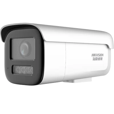
Video and data communication equipment: IoT video telemetry terminal, network camera;
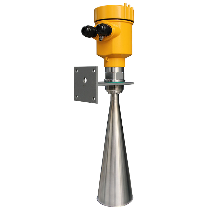
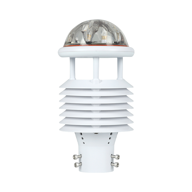
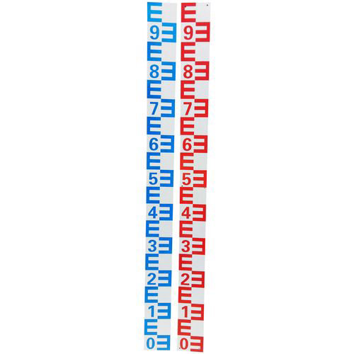
Measurement equipment: water gauges, radar water level gauges, rain sensors, and expandable meteorological sensors, etc;
Communication platform: China Mobile/Unicom/Telecom wireless 4G/5G network;
Video and data communication equipment: IoT video telemetry terminal, network camera;
Measurement equipment: water gauges, radar water level gauges, rain sensors, and expandable meteorological sensors, etc;
System Block Diagram

Water management platforms in various provinces and citiesOr build your own management platform
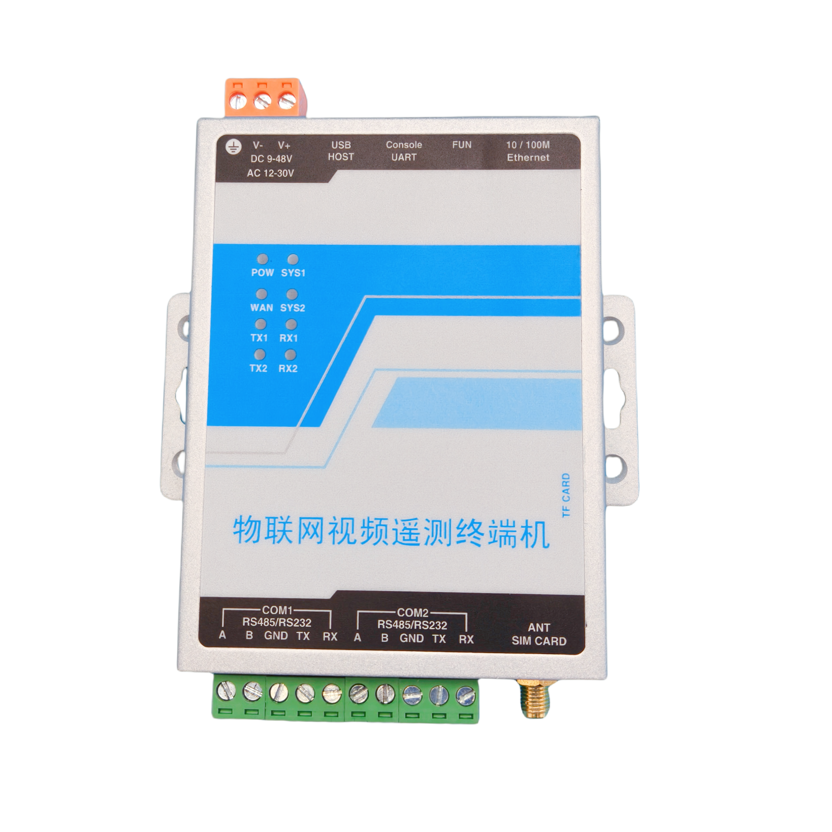
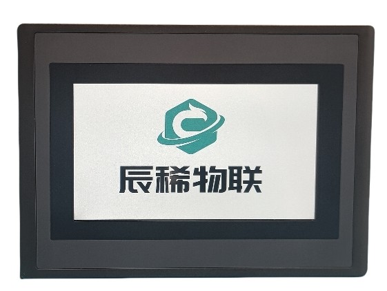
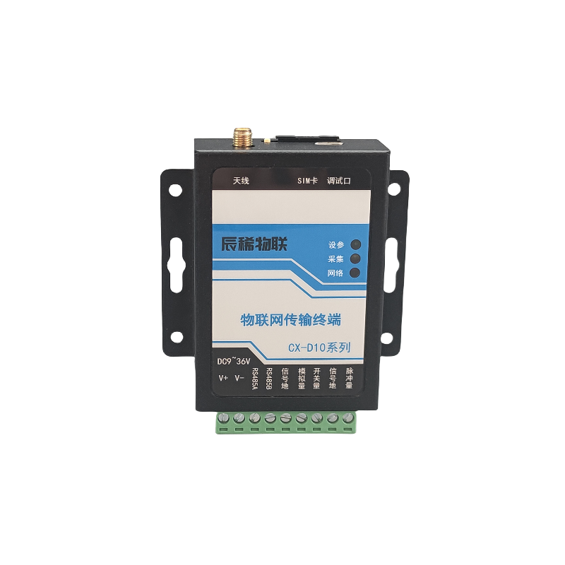
IoT transmission terminalIoT intelligent terminalIoT video telemetry terminal
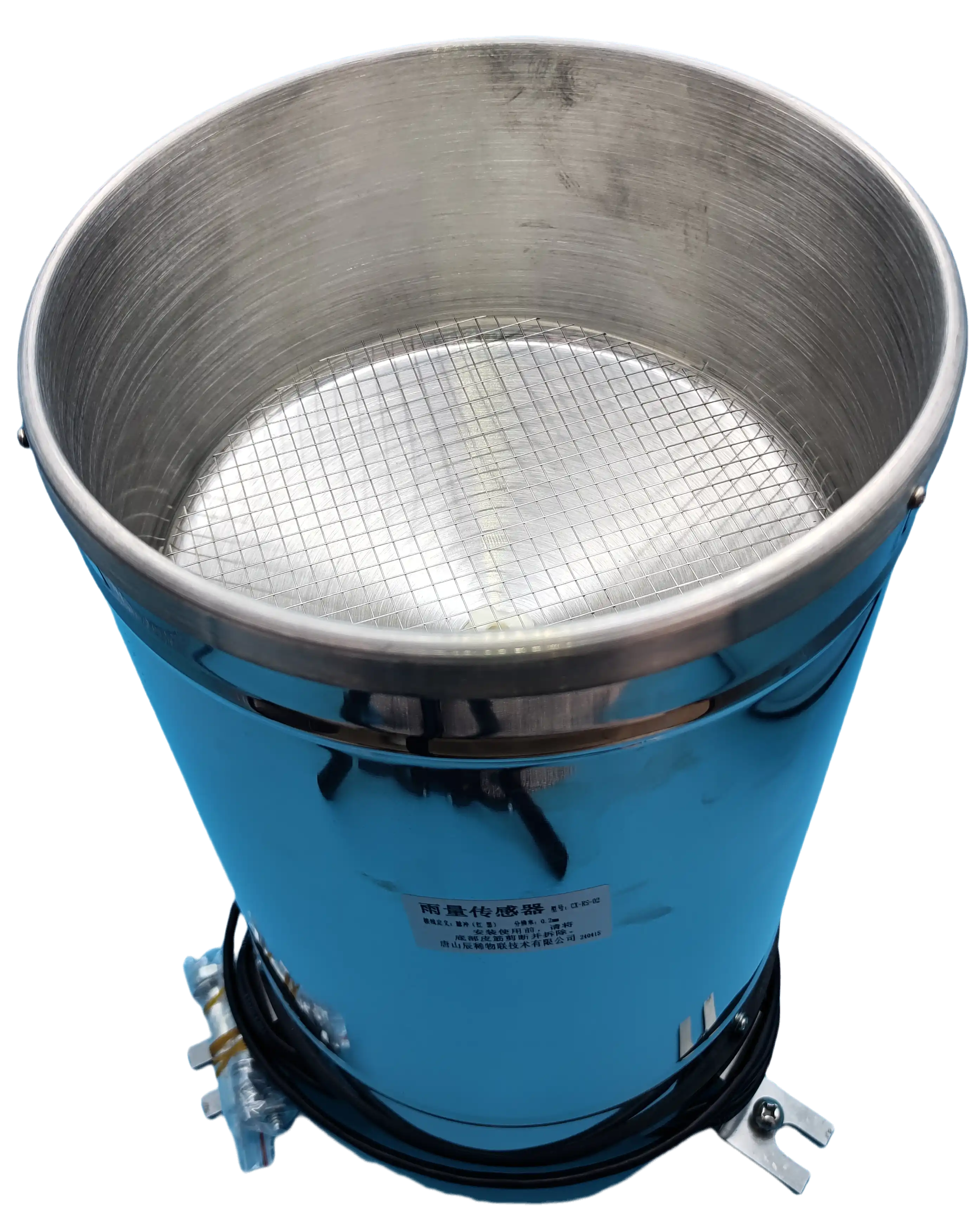
Other typesSensor access
System functions
Real time monitoring of rainfall, water level, weather and other information in reservoirs (rivers)
Real time collection of data from measuring instruments such as rainfall sensors, water level gauges, and meteorological sensors through video telemetry terminals. Utilizing the 3G/4G/5G wireless transmission function of telemetry terminals, the measured results are uploaded to the designated platform center to achieve remote monitoring of data
Network camera
Water gauge
Rainfall sensor
Radar water level gauge
Multi parameter meteorological sensor
Real time video transmission, photo taking, image/video character overlay *
The IoT video telemetry terminal comes with one 10M/100M network port, which can be connected to a network camera and capture photos at regular intervals. It can also provide a wireless internet channel for the network camera to connect to the cloud platform (taking Hikvision as an example, it can be connected to Yingshi Cloud and Hikvision Internet Platform)
Featuring large capacity storage *, supporting TF card/USB external storage, capable of exporting data and photos
Featuring large capacity storage *, supporting TF card/USB external storage, capable of exporting data and photos
Flexible and customizable features
Users can customize the collection parameters, and the data can be connected to various intelligent instruments such as radar water level gauges, bubble water level gauges, rainfall sensors, radar flow meters, Doppler flow meters, and multi parameter meteorological sensors
Support Modbus RTU protocol, custom address table and reporting volume name
Support Modbus RTU protocol, custom address table and reporting volume name
Local and remote maintenance
Cross platform use, no need for dedicated software or data cables
Connect the network cable to the computer and use web pages to set parameters
Support remote webpage parameter setting
Connect the network cable to the computer and use web pages to set parameters
Support remote webpage parameter setting
Wireless 4G/5G/broadband adaptive internet access and integration with various provincial and municipal platforms
Communication method
The system supports wireless 4G/5G and broadband adaptive internet access, and platform connection can be achieved with simple configuration
Supports various protocols such as Modbus RTU, FTP, HTTP (Json), TCP/IP, MQTT/MQTTS, Hydrological Monitoring Data Communication Protocol (SL651-2014), and supports custom protocol access
Docking system
A platform that supports docking with standard protocols and private protocols *
The system supports wireless 4G/5G and broadband adaptive internet access, and platform connection can be achieved with simple configuration
Supports various protocols such as Modbus RTU, FTP, HTTP (Json), TCP/IP, MQTT/MQTTS, Hydrological Monitoring Data Communication Protocol (SL651-2014), and supports custom protocol access
Docking system
A platform that supports docking with standard protocols and private protocols *
CX-D10
CX-L200
CX-L102
Software Function Introduction
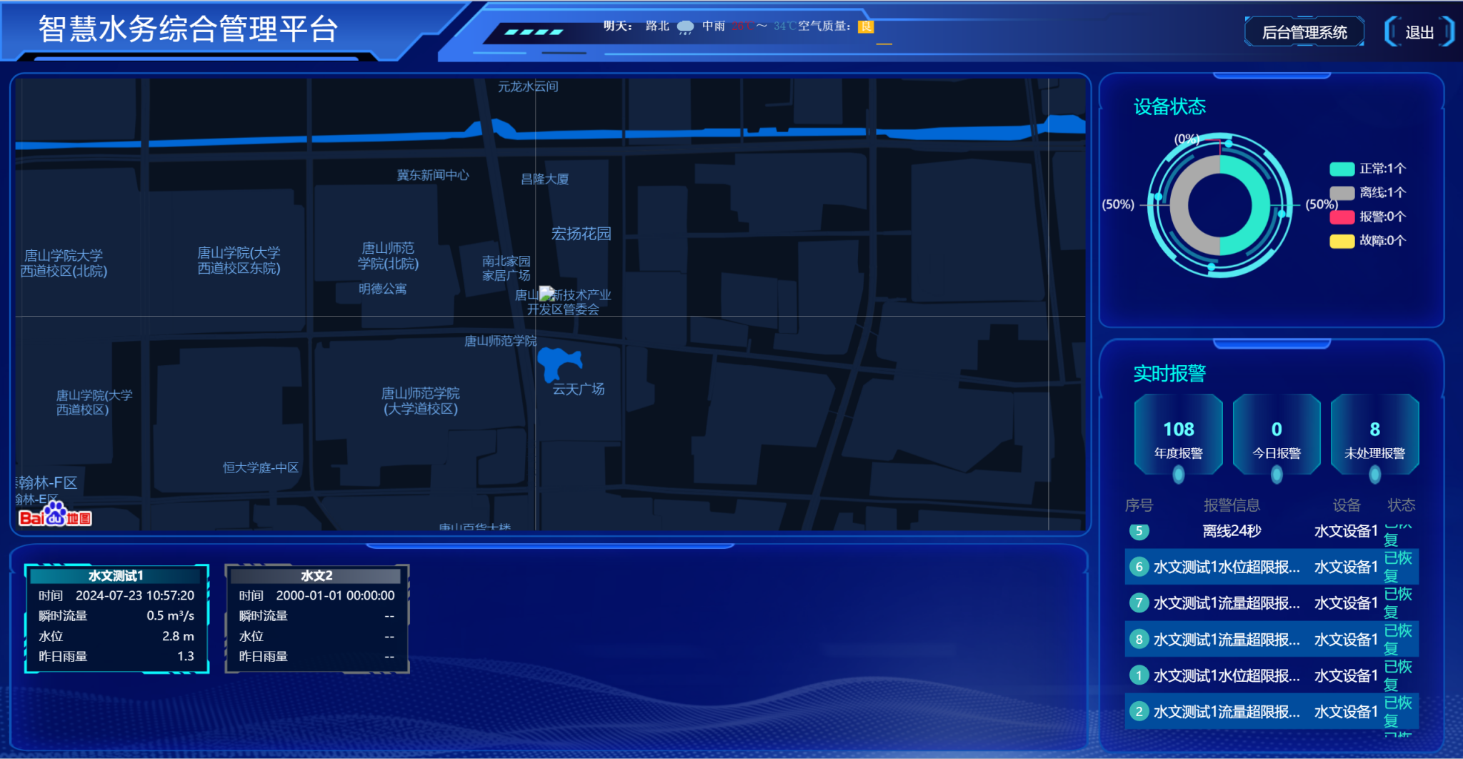
“ A Water Conservancy Diagram; Function
The overall management interface displays geographic information, equipment working status statistics, real-time alarm information, monitoring data display, and weather condition display within the area
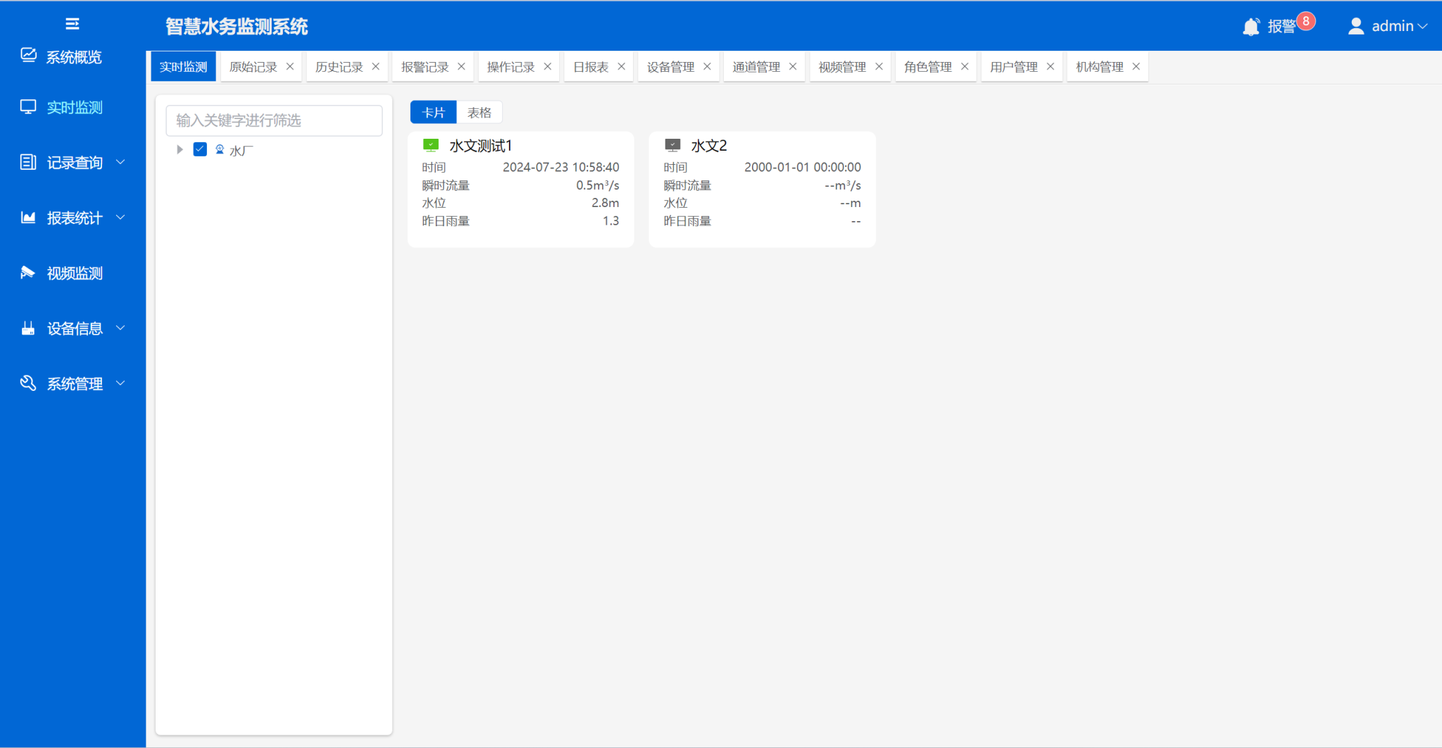
Real time monitoring
Display monitoring information of monitoring points in a card based interactive logic, including important information such as water level, 5-minute rainfall, air temperature and humidity, data reporting time, etc
Video playback
You can view and access videos, play or close them, and perform other operations
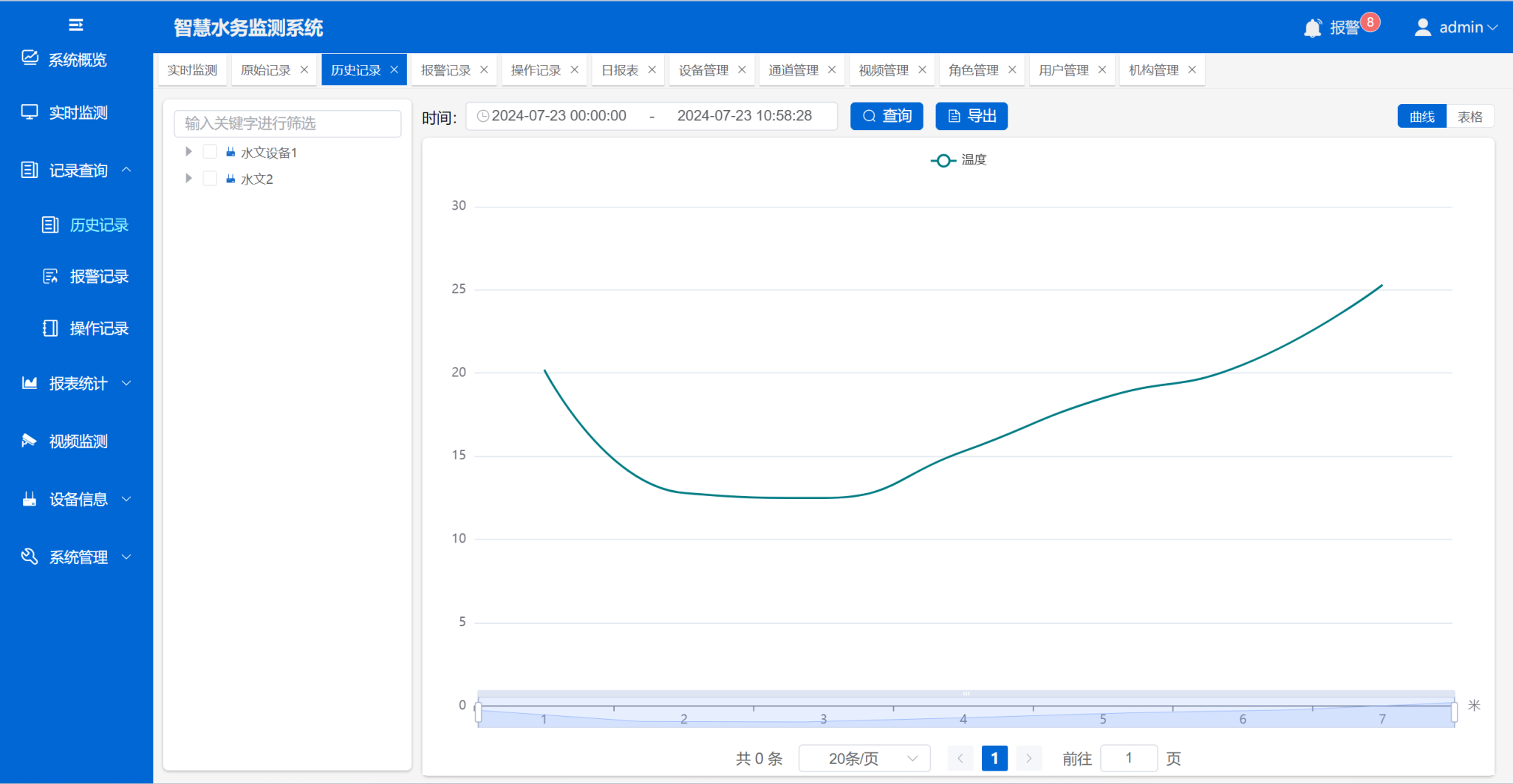
Record query
The curve displays monitoring data and can query monitoring data, alarm records, operation records, and other information within any time period
Report statistics
Daily, monthly, and annual reports with statistical monitoring data and data export function
Equipment management
Basic operations such as adding and deleting monitoring devices and video devices can be performed
System configuration
① Real time video transmission, photo taking, image/video character overlay *: Only CX-L102 and CX-L200 have this function;
② Large capacity storage *: refers to the built-in storage space of the video telemetry terminal, where CX-L102 is 128MB; CX-L200 is 1GB; CX-D10 is DTU and does not have local storage;
③ Private agreement *: refers to the platform docking agreement provided by the partner, and our company develops the corresponding docking interface;
② Large capacity storage *: refers to the built-in storage space of the video telemetry terminal, where CX-L102 is 128MB; CX-L200 is 1GB; CX-D10 is DTU and does not have local storage;
③ Private agreement *: refers to the platform docking agreement provided by the partner, and our company develops the corresponding docking interface;
| Name | Configure parameters | quantity | Explanation |
Protective chassis | Insect proof and rainproof chassis | 1 | Galvanized iron or stainless steel material can be customized |
| Video telemetry terminal | Wireless 4G/5G/Broadband Adaptive Internet Access | 1 | - |
| Network camera | Hikvision/Dahua/Tiandi Weiye | 1 | Support multiple manufacturers and models |
| Measuring instruments | Water level gauge/rainfall sensor/meteorological sensor, etc | 1 | Support smart meters |
| Power Distribution | Solar power supply system or mains power | 1 | - |
| System lightning protection | Network port lightning protection, power supply lightning protection, lightning protection grounding | 1 | - |
| Vertical pole | Make according to the actual situation | 1 | - |
Case photos
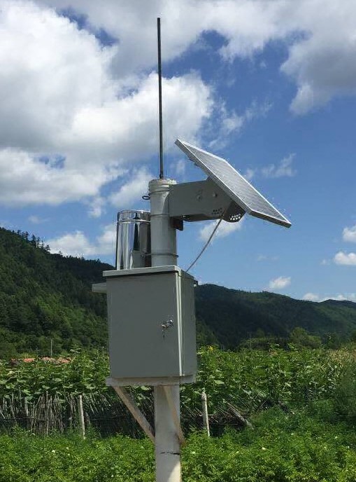
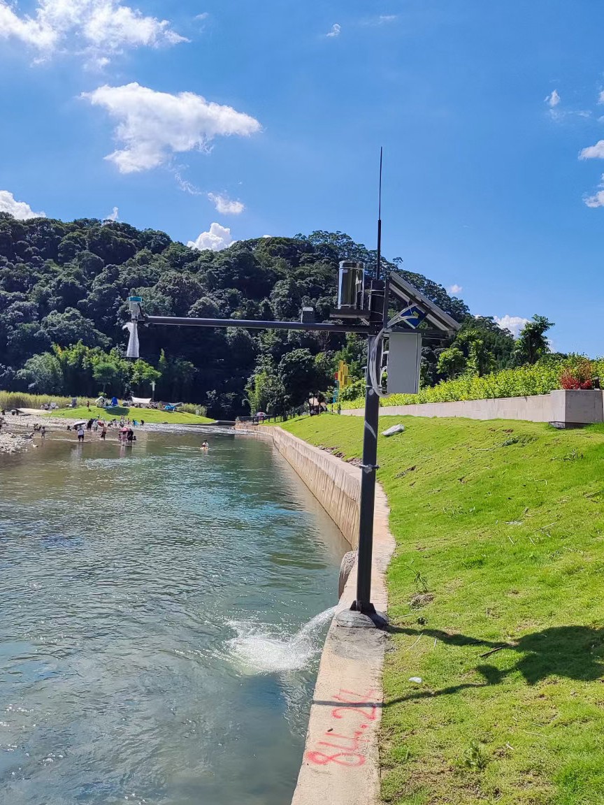
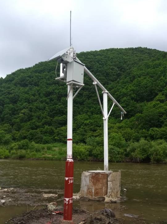
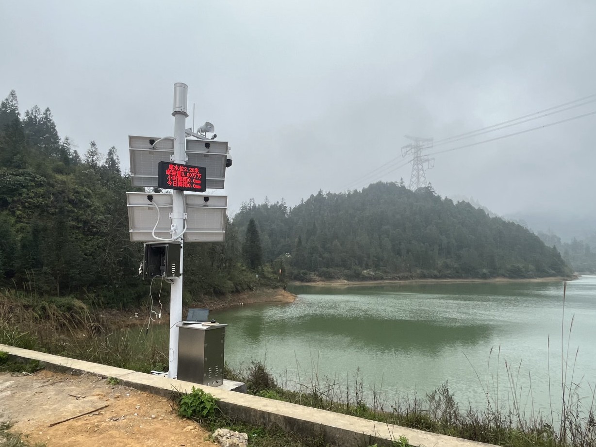
Video monitoring of river water level and rainfall
Monitoring of River Water Level and Rainfall
Rainfall monitoring
Video monitoring of reservoir water level and rainfall
Related products involved in the plan
Reservoir Rainwater Monitoring System; Reservoir Rainwater Monitoring and Reporting System; Reservoir water level, rainfall monitoring, video surveillance
Follow WeChat Video Account

Contact: Feng Chao
Phone: 18730593290
Scan the QR code on WeChat to obtain product solutions and prices
About Us
Solution
Smart Water Conservancy
Rural water use
Internet of Things
Instruments and sensors
Service Support
News Center
Pay attention to Tiktok number
Contact phone number
18730593290
18732598815

Email address
122797786@qq.com

Company Address
Tangshan High tech Zone, Hebei Province
126 Torch Road
Tangshan Chenxi IoT Technology Co., Ltd. is an official website supplier of water conservancy IoT products and technical solutions, providing you with hardware and software products, as well as corresponding solutions and technical services
Follow Video Account

 Online Service
